Where Is Cottonwood Heights, Utah?
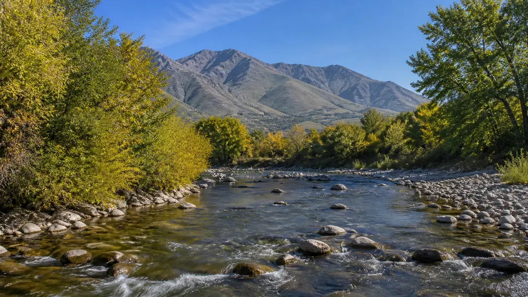
Cottonwood Heights sits on the southeast side of the Salt Lake Valley, about 9.2 square miles bordered by Holladay to the north across I-215, Midvale to the west, Sandy to the south and the Wasatch Range to the east. Wasatch Boulevard runs along its eastern edge, where State Route 190 climbs Big Cottonwood Canyon toward Solitude and Brighton and State Route 210 leads to Little Cottonwood Canyon, Snowbird and Alta. City Hall is at 2277 Bengal Boulevard, near Brighton High School.
Most Cottonwood Heights addresses use the 84121 ZIP code with a “Salt Lake City” mailing city, and parts of the city fall in 84047, 84092 and 84093, which are shared with Midvale and Sandy. Because ZIP codes and mailing cities do not match city limits here, confirm the city on the Salt Lake County parcel record when services, taxes or school assignments matter.
What Are the Neighborhoods in Cottonwood Heights?
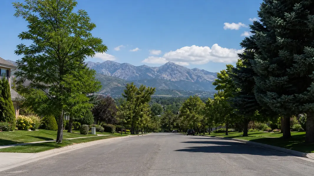
Cottonwood Heights neighborhoods follow the land. The north end, along Fort Union Boulevard and Big Cottonwood Creek, holds most of the city’s shopping, condos and older ramblers, plus the historic Old Mill near the mouth of Big Cottonwood Canyon. The center of the city rises onto a ridge between the Big and Little Cottonwood Creek drainages, a largely residential area around Bengal Boulevard, Brighton High and Butler Park with long views west over the valley.
The east side, along Wasatch Boulevard and streets like Prospector Drive and Kings Hill Drive, climbs toward the foothills, the Ferguson Canyon trailhead and the canyon mouths, with larger and newer homes on sloped lots. The original settlement, Butlerville, is remembered each July at Butlerville Days in Butler Park. Listing sites use their own labels, such as Canyon Cove, Willow Creek and Big Cottonwood East, so search by street and map rather than by a single neighborhood name.
What Types of Homes Are in Cottonwood Heights, and What Do They Cost?
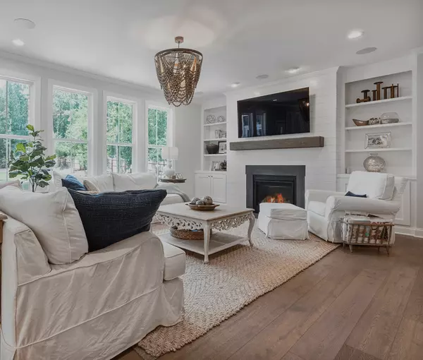
Cottonwood Heights homes are mostly single-family houses built from the 1970s through the 1990s, with a smaller share from the 1950s and 1960s and newer infill since 2000. Expect brick and stucco ramblers with daylight or walkout basements, split-levels and two-story traditional homes, many with four or more bedrooms, mature landscaping and valley or mountain views. Larger custom homes sit on the higher streets near Wasatch Boulevard, while condos and townhomes cluster near Fort Union Boulevard and the I-215 corridor.
Cottonwood Heights real estate sits in the upper tier of Salt Lake County, generally above Midvale and Murray for comparable homes and in a similar range to Holladay. Original-condition ramblers are the usual entry point to single-family ownership; updated view homes with walkout basements and quick canyon access sit at the top. For live numbers, check the market stats on this page or ask Jpok Homes for a pricing analysis of a specific address.
Cottonwood Heights at a glance

04 / Daily life
Is Cottonwood Heights a Good Place to Live?
Cottonwood Heights offers mountain recreation close to home in an established suburban setting. The Cottonwood Heights Parks and Recreation Service Area runs the recreation center at 7500 South 2700 East, with an indoor pool, ice arena, gym and track, along with parks including Butler, Mountview, Bywater, Golden Hills and Ferguson Park, home to an off-leash dog area and the Ferguson Canyon trailhead. The paved Big Cottonwood Canyon Trail follows the creek about two miles from under I-215 to the canyon mouth, and segments of the Bonneville Shoreline Trail run along the foothills.
Daily errands center on Fort Union Boulevard, with more shopping a few minutes west in Midvale and Sandy. The city owns the former Hillside Plaza site on Fort Union Boulevard and is planning a town center there with retail, dining and green space. Trade-offs to know: winter canyon traffic backs up Wasatch Boulevard and Fort Union Boulevard on powder days, east-side streets get more snow, and there is no TRAX station inside the city.
Cottonwood Heights Rec Center
7500 S 2700 E · pool & iceButler Park
Home of Butlerville DaysFerguson Park
Ferguson Canyon trailheadBig Cottonwood Canyon Trail
Paved, ~2 miles to the canyonBonneville Shoreline Trail
Foothill segmentsMountview & Bywater parks
Neighborhood parksFort Union Boulevard
Shops, dining, errandsHillside Plaza site
Planned town centerHistoric Old Mill
Near Big Cottonwood Canyon05 / Ski access
How Close Is Cottonwood Heights to the Ski Resorts?
Cottonwood Heights is one of the closest Salt Lake Valley cities to the Cottonwood Canyons ski resorts. Big Cottonwood Canyon, via State Route 190, leads to Solitude and Brighton, and Little Cottonwood Canyon, via State Route 210, leads to Snowbird about six miles up and Alta just beyond. Many homes are within a few minutes of a canyon mouth, and the canyons also bring year-round hiking, climbing and road cycling.
Winter access takes planning. UDOT enforces a traction law on both canyon roads, resorts use paid parking or reservations on busy days, and UTA has run ski buses from Midvale and Sandy TRAX stations. UDOT’s May 2026 Big Cottonwood Canyon decision calls for a mobility hub with a parking structure at the former gravel pit on Wasatch Boulevard, plus expanded canyon buses and tolling targeted for about 2028, while the earlier-approved Little Cottonwood gondola remains a later phase that is not yet fully funded. Check current routes and rules each season.
06 / Schools
What Schools Serve Cottonwood Heights?
Canyons School District. Confirm assignments for each address.
Brighton High · Butler Middle
Brighton High School on Bengal Boulevard is the public high school inside Cottonwood Heights, and Butler Middle School is the public middle school.
Butler · Canyon View · Ridgecrest
Elementary schools in the city include Butler, Canyon View and Ridgecrest. Bella Vista closed as an elementary school for 2026–27, with its students assigned to Ridgecrest.
Because assignments changed recently and can differ by address, confirm current schools for any specific home with Canyons School District’s boundary tools before you buy. The district also offers open enrollment, and private and charter options are within a short drive.
07 / Compare
Cottonwood Heights vs. Holladay vs. Sandy
| Cottonwood Heights | Holladay | Sandy | |
|---|---|---|---|
| Incorporated | 2005 | 1999 | 1893 |
| Population (2020) | ~33,600 · 9.2 sq mi | ~32,000 · 8.5 sq mi | ~97,000 · 24 sq mi |
| Schools | Canyons School District | Granite School District | Canyons School District |
| Homes | Mostly 1970s–90s ramblers & two-stories, view lots | Ramblers, creekside estates, rebuilds | Wide range, more newer subdivisions |
| Signature | Canyon mouths & views | Village center & Big Cottonwood Creek | TRAX, South Town, America First Field |
Cottonwood Heights vs. Holladay: both are east-bench cities of about 32,000 to 34,000 people with similar price tiers. Holladay, incorporated in 1999 and served by Granite School District, is older and flatter, with large wooded lots along Big Cottonwood Creek and a village center. Cottonwood Heights, incorporated in 2005 and served by Canyons School District, sits higher, with more 1970s to 1990s homes, more views and faster canyon access.
Cottonwood Heights vs. Sandy: Sandy is about three times larger, with roughly 97,000 residents over 24 square miles, and also in Canyons School District. It offers a wider range of price points and newer subdivisions, plus TRAX stations, The Shops at South Town and America First Field. Cottonwood Heights is smaller and almost entirely residential, with a premium for views and proximity to the canyon mouths.

08 / Buying
Tips for Buying a Home in Cottonwood Heights
Views and canyon access drive price, and many homes are 30 to 50 years old, so plan the inspection carefully.
Price the view
Ridge and Wasatch Boulevard streets carry a premium over homes near Fort Union.
Sewer scope
Scope the lateral on older homes and mature-tree lots.
Roof & systems
Check roof, furnace, water heater and electrical panel age.
Slope & drainage
Evaluate retaining walls, grading and basement moisture on sloped lots.
Radon
Test for radon; granite-derived soils near Little Cottonwood can run high.
Wasatch Fault
Review fault and geologic hazard maps for the address.
Winter access
Check driveway slope, sun exposure and canyon-day traffic.
Permits
Confirm additions and basement finishes were permitted.
Local rules
Internal ADUs need owner occupancy; short-term rentals are mostly limited to condo/HOA projects.
Scroll for all 9 →

09 / Selling
Selling a Home in Cottonwood Heights: What Buyers Pay For
Selling a home in Cottonwood Heights starts with pricing against the right micro-market, since a view home off Wasatch Boulevard, a ridge rambler near Bengal Boulevard and a condo near Fort Union are valued very differently. Buyers here pay most for views, walkout basements, updated kitchens and baths, a primary suite on the main floor, garage and storage space for skis and bikes, and short drives to the canyon mouths.
Before listing, consider a pre-inspection and sewer scope, gather records for roof, furnace and electrical updates, and have a radon test result ready. Shoot photography on a clear day or at twilight to capture valley and mountain views, and list drive times to Brighton, Solitude, Snowbird and Alta. Price from street-level comparable sales rather than citywide averages, and give buyers accurate Canyons School District information with a note to verify.
What buyers look for
- Valley & mountain views
- Walkout basement
- Updated kitchen & baths
- Main-floor primary suite
- Ski & bike storage
- Garage space
- Minutes to the canyons
- Radon & system records
10 / Jpok Homes
Work With a Cottonwood Heights Real Estate Expert
Cottonwood Heights pricing can shift block by block with views, elevation and canyon access, so local guidance pays off whether you are moving to Cottonwood Heights or selling a home you have owned for years. Jpok Homes, with Signature Group Real Estate, works across the east bench from the brokerage’s office on Union Park Avenue in Midvale, just west of Cottonwood Heights.
If you are buying, ask for a custom search of Cottonwood Heights homes for sale and alerts for new listings that match your view, lot and canyon-access priorities. If you are selling, request a free home valuation built on recent Cottonwood Heights comparable sales, plus a preparation and marketing plan. Reach out to Jpok Homes to schedule a tour or a no-obligation conversation.
Featured Listings
 Open Sat 10AM-1PM
 Open Thu 4PM-6PM
 Open Fri 2:30PM-4:30PM
 Open Thu 11:30AM-2PM
 Open Sat 11AM-1PM
 Open Sat 11AM-1PM
Questions & answers
Cottonwood Heights Real Estate FAQs
The questions buyers and sellers ask most about living in, buying in, and selling in Cottonwood Heights, Utah.
Where is Cottonwood Heights, Utah?
Cottonwood Heights, Utah is a city on the southeast bench of the Salt Lake Valley in Salt Lake County. It borders Holladay to the north across I-215, Midvale to the west and Sandy to the south, with Wasatch Boulevard and the mouths of Big and Little Cottonwood Canyons on its east side. The city covers about 9.2 square miles.
Is Cottonwood Heights a good place to live?
Cottonwood Heights offers established neighborhoods with fast access to the mountains. The city sits between Big and Little Cottonwood Canyons, near four ski resorts, and has a recreation center, parks, the Big Cottonwood Canyon Trail and Fort Union Boulevard shopping. Trade-offs include higher prices than much of the valley, winter canyon traffic and no TRAX station inside city limits.
What ZIP code is Cottonwood Heights in?
Most Cottonwood Heights addresses use ZIP code 84121, often with “Salt Lake City” as the mailing city, and parts of the city fall in 84047, 84092 and 84093, which it shares with Midvale and Sandy. Because ZIP codes do not match city limits, confirm the city for a specific Cottonwood Heights property on the Salt Lake County parcel record.
What school district is Cottonwood Heights in?
Cottonwood Heights is in Canyons School District. Brighton High School and Butler Middle School are inside the city, and elementary schools include Butler, Canyon View and Ridgecrest. Bella Vista closed as an elementary school for 2026–27, with students reassigned to Ridgecrest. Boundaries can differ by address, so confirm current Cottonwood Heights school assignments with Canyons School District.
How close is Cottonwood Heights to the ski resorts?
Cottonwood Heights sits at the mouths of Big Cottonwood Canyon, which leads to Solitude and Brighton, and Little Cottonwood Canyon, which leads to Snowbird and Alta, about six miles up State Route 210. Many Cottonwood Heights homes are minutes from a canyon road, though winter traffic, the canyon traction law and resort parking reservations can affect travel times.
When did Cottonwood Heights become a city?
Cottonwood Heights incorporated as a city on January 14, 2005, after voters approved incorporation in 2004. The area was first settled as Butlerville, named for the Butler family, and the city still celebrates Butlerville Days each July at Butler Park. Most Cottonwood Heights homes were built between the 1970s and 1990s, well before incorporation.
What types of homes are in Cottonwood Heights?
Cottonwood Heights homes are mostly single-family ramblers, split-levels and two-story homes built from the 1970s through the 1990s, many with walkout or daylight basements, four or more bedrooms and valley or mountain views. Larger custom homes sit near Wasatch Boulevard and the canyon mouths, and condos and townhomes are concentrated near Fort Union Boulevard and I-215.
Are homes in Cottonwood Heights more expensive than in Midvale or Sandy?
Cottonwood Heights homes generally sell for more than comparable homes in Midvale and much of Sandy, reflecting east-bench lots, views and quick canyon access, and pricing is closer to Holladay. Within Cottonwood Heights, updated view homes near Wasatch Boulevard usually command the most, while original-condition ramblers near Fort Union Boulevard are the typical entry point.
What is the difference between Cottonwood Heights and Holladay?
Cottonwood Heights and Holladay are neighboring east-bench cities with similar populations and price tiers. Holladay, incorporated in 1999 and served by Granite School District, is older and flatter, with wooded lots along Big Cottonwood Creek. Cottonwood Heights, incorporated in 2005 and in Canyons School District, sits higher, with more 1970s to 1990s homes, more views and faster canyon access.
Can I build an ADU or rent out a home in Cottonwood Heights?
Cottonwood Heights allows internal accessory dwelling units in single-family zones, generally with owner occupancy and an extra off-street parking space, and detached ADUs face stricter rules. Short-term rentals are primarily limited to multi-family condo or HOA communities and require a city license, so they are generally not an option in typical single-family neighborhoods. Confirm current rules for a specific Cottonwood Heights property with the city.
What is planned for the gravel pit on Wasatch Boulevard in Cottonwood Heights?
The former gravel pit at about 6695 South Wasatch Boulevard in Cottonwood Heights was approved for mixed-use redevelopment in 2021, and in 2026 UDOT selected it for a Big Cottonwood Canyon mobility hub with a parking structure and new Wasatch Boulevard intersection. UDOT is still working to acquire the site, with service improvements possible as early as winter 2028, so check UDOT and city updates.
What should I inspect when buying a home in Cottonwood Heights?
When buying a Cottonwood Heights home, order a full inspection and sewer lateral scope, and check the roof, furnace, electrical panel, retaining walls, drainage and basement moisture, especially on sloped lots. Test for radon, since granite-derived soils near Little Cottonwood Canyon can raise levels, review Wasatch Fault hazard maps, and ask whether additions and basement finishes were permitted.